
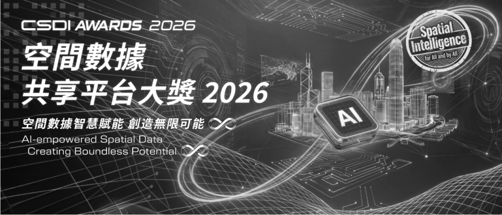
Organised by the Geospatial Lab under the Development Bureau, the CSDI Awards 2026 challenges students to combine AI with real spatial data to solve genuine community problems. Theme: “AI-Empowered Spatial Data: Creating Boundless Potential ∞.”
Key Dates
| Event | Date |
| Enrolment | Opens now |
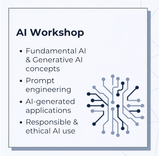
| AI Workshop(Cat 1) | 19 September (10am-12:30pm) |
| AI Workshop(Cat 2-3) | 3 October(10:00am-12:30pm) |
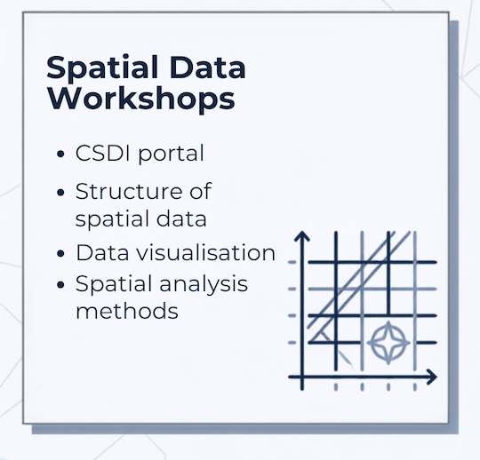
| Spatial Data Workshop(Cat 1) | 10 October(10:00am-12:00pm) 31 October(2:30pm-4:30pm) |
| Spatial Data Workshop(Cat 2) | 17 October(2:30pm-4:30) 31 October(10:00am-12:00pm) |
| Spatial Data Workshop(Cat 3) | 10&24 October |
| Phase 1 Submission Deadline | 5 December 2026 |
| Finalist Notification | 18 December 2026 |
| Final Presentation | 30-31 January 2027 |
| Awards Ceremony | 27 February (HK Science Park) |
Categories & Project Objectives
| Category | Who | Project Objective |
| Cat 1 | P4-P6 | Record a route or routes geotagged with images, videos and geographic information, presenting points of interest and their characteristics to the public. |
| Cat 2 | S1-S3 | Show the location and spatial distribution of a phenomenon or geographic features, using map reading skills to describe and explain observed patterns. |
| Cat 3 | S4-S6 | Describe and explain observed distribution patterns, using spatial analysis tools (Buffer, Clip, Overlay, Spatial Join) to support observations and conclusions. |
What You Need to Submit
Phase 1– Deadline: 5 December 2026
- Interactive web map (HTML source code or a sharing URL)
- 1-minute introduction video (Cantonese, Putonghua, or English)
- ⚠️ Test your URL in a private/incognito browser window before submitting
- ⚠️ Do not include personal names, school names, or affiliated organisations in the deliverables
Phase 2– Finalist Stage: 30-31 January 2027
- Physical exhibit (max 50 × 50 × 50 cm)
- You must carry it yourself to the Final Presentation and Awards Ceremony
⚠️ Critical Rule: No modifications or updates are allowed after Phase 1 submission.
Submission Method
All deliverables must be submitted by email only to: csdiawards2026@csdigeolab.gov.hk
- Include your team number
- Clearly state whether your submission has been used in other competitions organised by CSDI or GeoLab
Judging Criteria
| Criteria | Weight | Focus |
| Content | 25% | Theme relevance, understanding of community |
| Research Quality/Interactive Map Use | 25% | Cat 1: map completeness & storytelling; Cat 2 & 3: data accuracy, logical analysis, critical thinking |
| Idea & Creativity | 20% | Originality, novel thinking, personal perspective |
| Application of AI Tools | 15% | Clear explanation of tools used, integration with spatial data, responsible verification |
| Overall Presentation | 15% | Clarity, structure, physical exhibit, video |
AI Application level by Category
| Category | AI Application Level |
| Cat 1 | AI assists with brainstorming, drafting, or generating images/text for the story map. Must be woven into the map narrative. |
| Cat 2 | AI assists in shaping or enriching data and analytical insights. Must verify accuracy and indicate which step AI was used in. |
| Cat 3 | AI supplements data layers or generates new attributes/insights. Must clearly distinguish AI-inferred fields from authoritative sources and include a data validation statement. |
AI must be closely integrated with the map narrative — not used as a standalone tool.
Workshops
Register
Register Now: Fill the enrolment form CSDI Awards 2026 and email vivianfung@cdnis.edu.hk